
Project Portfolio
Since 1996, VerdantArc Inc. has proudly partnered with clients worldwide, offering unparalleled environmental consulting and operational support for a diverse range of multidisciplinary projects.
From safeguarding marine ecosystems to advancing sustainability initiatives, our work spans continents, addressing critical environmental challenges and delivering impactful, science-driven solutions.
Selected projects are showcased here to highlight our commitment to creating a more sustainable future.
Offshore Zooplankton sampling, Gulf of Mexico
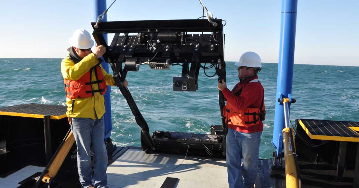
VerdantArc was contracted to conduct zooplankton sampling for 2 years in the Gulf of Mexico using a MOCNESS system. This study has been undertaken to meet National Pollutant Discharge Elimination System (NPDES) regulations. A major goal of this project is to minimize the impingement and entrainment of fish and other aquatic organisms as they are drawn into a facility’s cooling water intake. In the NPDES general permit for the Western Portion of the Outer Continental Shelf of Gulf of Mexico, operators of new facilities with CWIS designed to take in more than 2 million gallons per day (MGD) of seawater and with more than 25% of that used for cooling water must 1) undertake source water biological baseline surveys; 2) conduct frequent visual or remote inspections of CWIS; and 3) conduct entrainment monitoring studies for some facilities. This program was designed to fulfill this permit requirement. Sampling was conducted over a 2-year period at 2-week intervals. The sampling design consists of three vertically stratified plankton collections taken at dawn, mid-day, and dusk in the vicinity of four deepwater facilities in the central and western Gulf of Mexico. Samples were analyzed to determine the abundances of fish eggs and larvae, and the data used to evaluate the impact of deepwater cooling water intakes on fish populations.
Monitoring Survey, Northern Territory, Australia
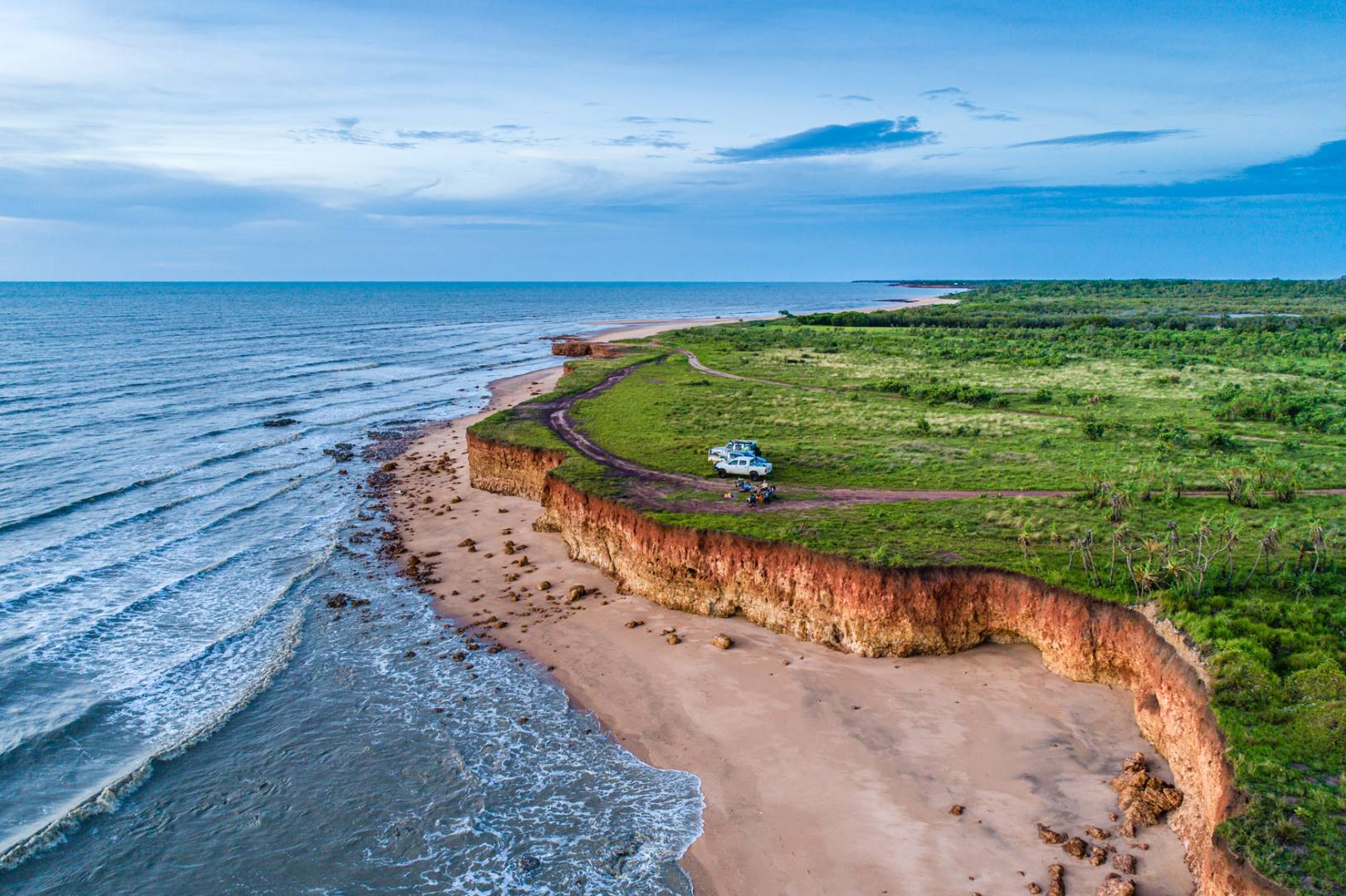
Darwin, Northern Territory Australia, is conducting a beach nourishment project that may affect sensitive nearshore hardbottom habitats. As part of a potential impacts monitoring program our scientists sampled epibiota and fishes in replicate plots (sampling units) on hardbottom within each of the four fill areas and one reference area along the coast. Sampling units were placed within intertidal and subtidal hardbottom strata. The distinction between intertidal and subtidal sites was based upon water depth and distance from shore. Within the sampling units, epibiota was assessed with quantitative photographs.
Digital images were evaluated to assess invertebrate and macroalgal cover and taxonomic composition. Total percent cover was assessed by superimposing a random-dot overlay (point-count) on the photographic images using image analysis software. Fishes were sampled within the subtidal stratum of each sampling unit using baited underwater video cameras. Data and findings from the surveys conducted for pre-construction conditions formed the baseline for during- and post-construction comparisons to follow in the future.
California Department of Water Resources sampling, United States
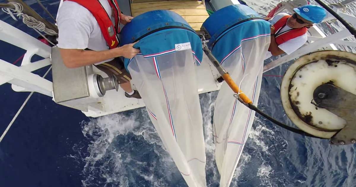
VerdantArc was contracted to identify fish eggs and larvae from the Sacramento San Joaquin Delta in support of a California Department of Water Resources (DWR) study to identify meroplankton, holoplankton, and drift invertebrates. The DWR Aquatic Ecology Section collects zooplankton, drift invertebrate, and fish eggs and larval samples to verify planktonic assemblages in two aquatic habitats to better determine habitat quality and productivity.
Two sites were sampled every other week: the Sacramento River at Sherwood Harbor and the Yolo Bypass screw trap site. The Yolo Bypass is a major seasonal flood plain in the Central Valley and the Delta provides rearing habitat and serves as a migratory pathway for juvenile Chinook salmon and Splittail. This program was designed to investigate habitat evaluation criteria in the Yolo Bypass under a range of flow conditions and in years when spatial and temporal trends in juvenile Chinook salmon use were monitored.
Environmental Sensitivity Mappinge, Haifa, Israel
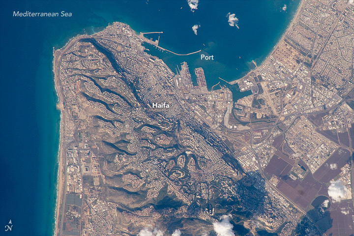
VerdantArc used remote sensing and Geographic Information System (GIS) technology to map shoreline sensitivity to oil spills in the eastern Mediterranean Sea. The Environmental Sensitivity Index (ESI) is a widely used system for ranking and classifying shoreline sensitivity based on characteristics such as degree of wave energy, potential penetration of oil into the substrate, and natural oil retention times of the shore type. This type of information is crucial to mitigate the potential impact of an oil spill.
VerdantArc acquired, examined, and interpreted high-resolution, georeferenced satellite imagery; assigned ESI Shore Types to digital shoreline segments; and identified features relevant to shoreline sensitivity such as human use areas, sensitive infrastructure, and sensitive biological resources (e.g., wildlife use areas and protected areas). We conducted a ground-truthing study in Israel, during which 66 coastal locations were visited to verify and validate interpretations of remotely sensed imagery. A field report with detailed images, shoreline habitat classifications (ESI Shore Types), and site notes was developed.
VerdantArc developed the ESI Atlas containing maps for the shoreline of Northern Israel. The maps in the Atlas summarize information on three main aspects of coastal environments: ESI Shore Types, sensitive biological resources, and human use resources.
ESIA for Seismic Operations in the Gulf of Suez, Egypt
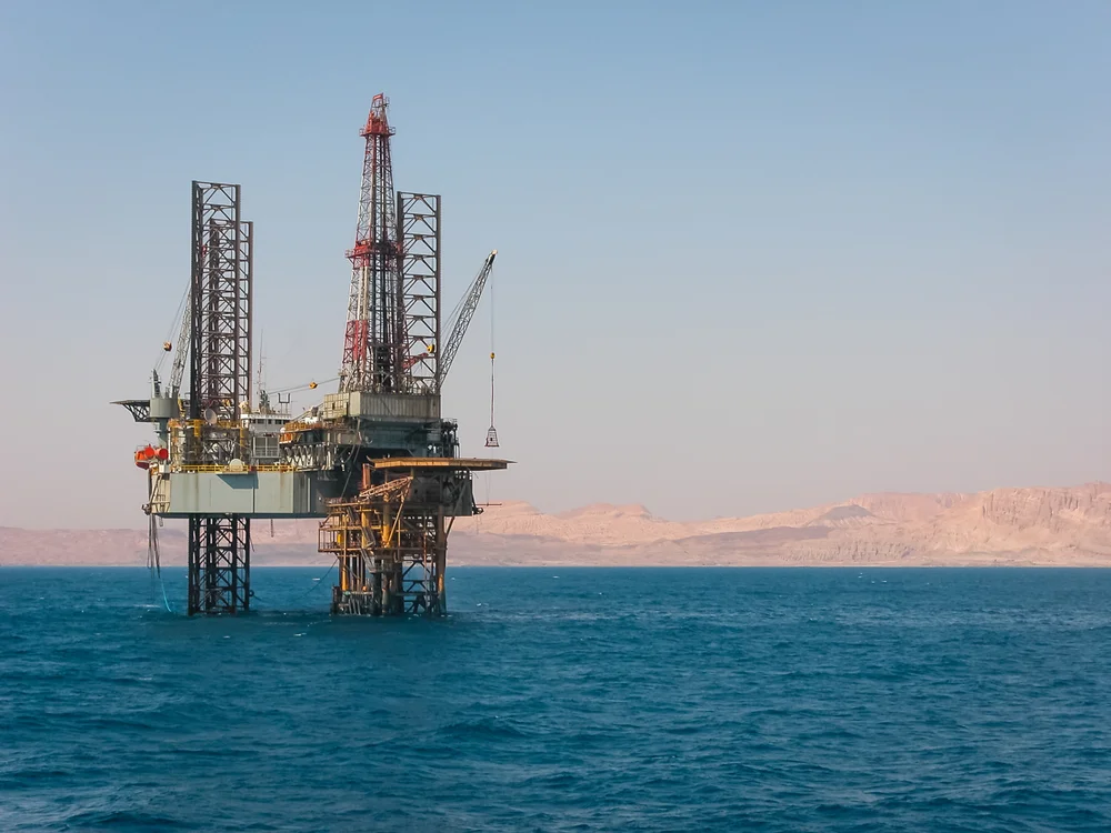
VerdantArc prepared an Environmental and Social Impact Assessment (ESIA) for seismic operations in the Gulf of Suez, Egypt. The ESIA included Environmental and Social Management and Monitoring Plans. Seismic operations were planned for the Shoab Ali reef complex and Ras Kenisa region in the North Shadwan Concession. The ESIA included interpretation and classification of satellite imagery for benthic habitats. To ground‑truth the satellite imagery, VerdantArc selected representative stations in a variety of habitats and water depths over a wide geographic area.
We also provided a scientist to monitor benthic communities prior to and after deployment of seismic equipment. Additional VerdantArc services included compiling a list of needed permits and approvals, assisting in obtaining the seismic permits, and assisting with interactions among Egyptian regulators and interested third parties, including non-government organizations. The project was conducted in cooperation with an Egyptian business partner.
Hard Coral Relocation, Qatar
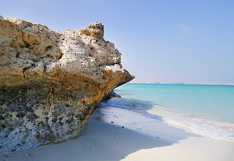
VerdantArc was contracted to develop and implement a Coral Management Plan (CMP) for mitigation to reduce impacts to hard corals associated with pipeline construction in the nearshore area.
Hard coral resources were identified within the nearshore landings of the pipeline corridors along the north coast of Qatar. Prior to coral relocation, a site was selected based on the presence of an existing coral population, relative similarity of physical characteristics to the impacted area, and availability of suitable substrate for coral reattachment. Hard corals were transported in a specially designed flow‑through seawater holding pool during the 46-km transit to the relocation site. A special concrete mixture was used to reattach over 4,500 hard corals, approximately 5% of which were tagged, mapped, and photographed for subsequent monitoring. A monitoring plan is in place to determine the relative success of coral relocation by evaluating hard coral attachment status, relative health of reattached and control corals, and spatial and temporal ecological trends of the reattachment site.
This project demonstrates a way to effectively save hard corals while providing significant environmental benefits rather than compensating for impacts by creating artificial habitats and conducting off-site mitigation, both of which do not provide equivalent ecological value. This program provides a model for effective mitigation of impacts to hard corals.
Imagery Interpretation for Benthic Mapping & Characterization, Calabria, Italy
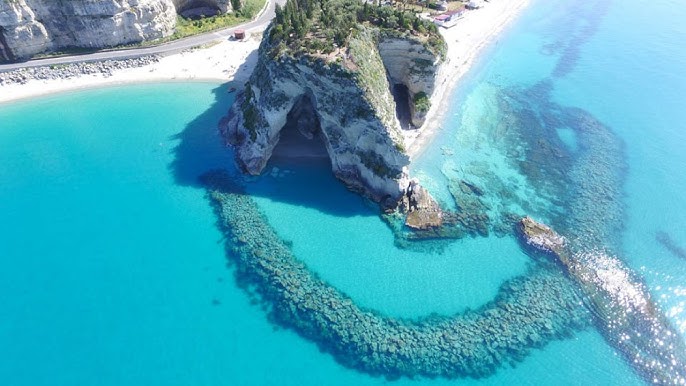
VerdantArc provided GeoSpatial services for benthic mapping and characterization in support of Calabria beach re-nourishment program. Using aerial imagery in conjunction with ground verification surveys, we produced accurate benthic maps for inventory of hardbottom habitats to assess potential project-related impacts within the project area. We coordinated aerial imagery acquisition efforts by conducting visibility checks based on flight windows provided.
VerdantArc utilized the aerial imagery and remote sensing to perform a supervised classification of hardbottom habitats. Other GIS technologies were utilized to analyze, convert, and display the data, produce maps, and calculate overall acreages of hardbottom within the project area. A geodatabase with the imagery and classified hardbottom was compiled, including ground verification survey photo documentation, to produce maps depicting the interpreted benthic hardbottom features and supporting inventory summary tables.
VerdantArc has a global presence, with offices worldwide staffed by a diverse team of scientists and experts from across the globe. This international network enables us to provide comprehensive services to clients around the world, combining local expertise with global insights to address complex challenges.